Search This Blog

Followers

Monday, February 18, 2019

Mapping a Loop

A look at our 3.01-mile morning trek looking north
Now that my Garmin eTrek GPS seems to be functioning correctly utilizing Google Earth Pro I decided to map out the 3-mile loop trail Becca and I used to hike frequently.  She seemed up for it despite yesterday's long trek into Soledad Canyon, so we set off rather early to accomplish our goal.  Although the sun was shining brightly, conditions were cold for the first part of our outing:  26F when we started off.  It warmed up enough that about two-thirds of the way through our trek I was able to remove an undergarment layer and just rely on my Marmot PreCip jacket for warmth.  One reason I could do that was the absence of wind, though it's supposed to pick up later this afternoon.  We had only a few direct encounters with other outdoor enthusiasts, and the parking lot was surprisingly uncrowded on this year's Presidents Day holiday.  
Changed directions to view the trek from the southwest

Image from one of the marked waypoints on the GPS track

Guess who's having fun on a morning hike?

Our high-elevation cactus garden

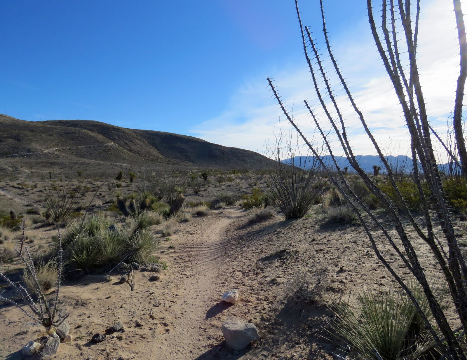
Trail to the lower desert

Looking back at Tortugas

Odd contrails

A pause on our way west

Looking at the mountain from the arroyo

Looking the other way from inside the arroyo

Heading back for the mountain

Getting ready for some uphill exercise

Looking at Tortugas from near the final waypoint
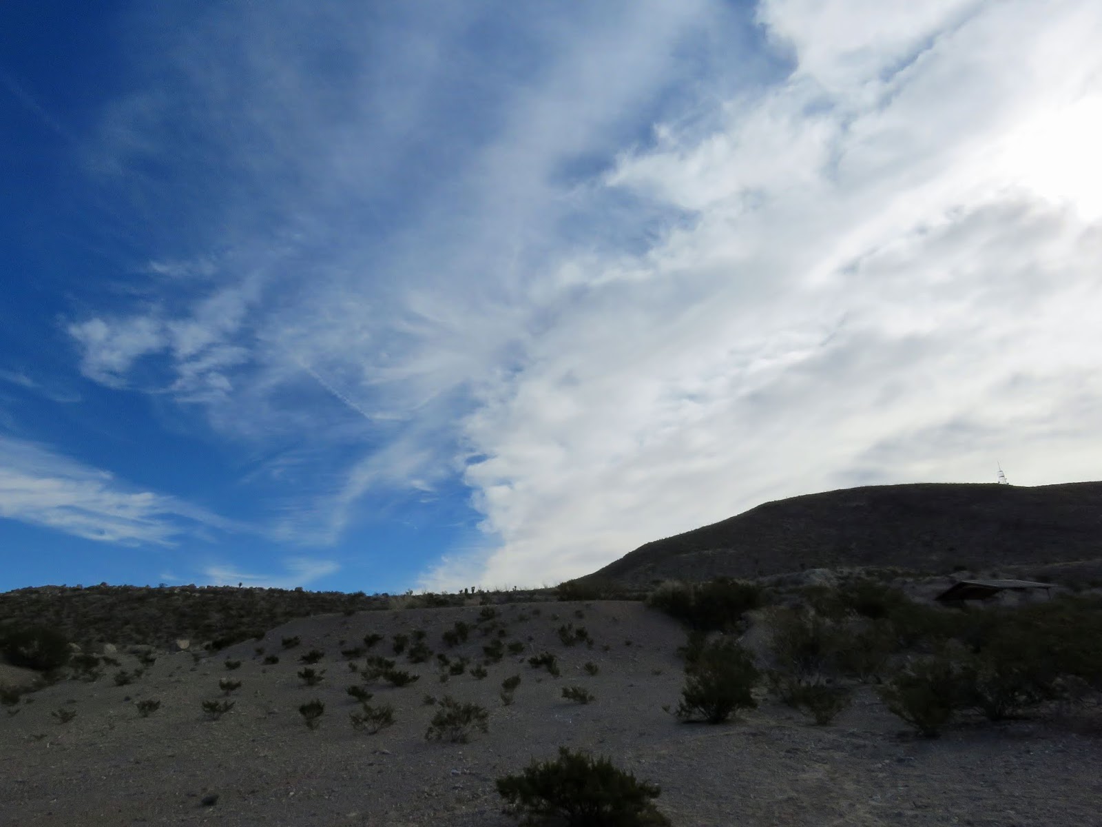
Final Waypoint

1 comment:

Unknown said...

I enjoyed looking at those aerial views of your trek this morning. They give a good sense of the rugged landscape around Tortugas.

Metatarsalgia Hike

Willow taking a break Dr. K, Willow and I took our regular hike this morning despite my aching feet.  I seem to have all the symptoms of met...