 |
| At the head of the Crosscut Trail |
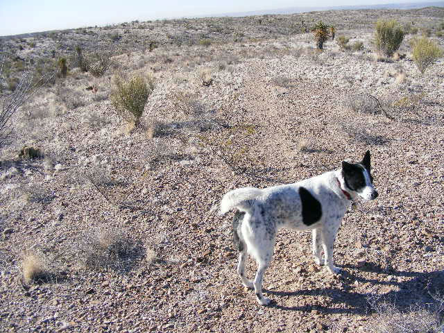
Owing to the strenuousness of our hike yesterday, and the fact that my old knees cannot handle the stress they used to take, we did a shorter hike west of Tortugas (Tortoise) Mountain this morning. She didn't have to say anything, but I know Becca was protesting the shorter trek vociferously. We had a good time nonetheless. The last image is a Google earth screen shot that clearly shows one of the large arroyos we hiked through.
 |
| In an arroyo west of the mountain |
 |
| Heading back |
 |
| Claret Cup Cactus beginning to bud |
 |
| Becca and the mountain |
 |
| Section of our track superimposed over a Google earth screen capture |


1 comment:
I really like the google maps.
Post a Comment