Search This Blog

Followers

Wednesday, January 30, 2019

Getting the Garmin

Somebody made a cairn that looked to me like a bird of prey
Yesterday I dug out my old Garmin Etrex Venture GPS unit, quickly read over the owner's manual to get a refresher on how to use it, and took the device with me when Becca and I did a hike on the west side of Tortugas Mountain.  I entered 10 or 12 markers along the way, and I'll download the data later to see if I can superimpose the track on Google Earth.  I did that a few times in the past and liked the way the images came out.  Today it was completely overcast during our trek, and we saw only one runner out there just as we started out before hiking into the high foothills and back.  The temperature was about 42F with no wind, so it wasn't cold--just a bit chilly.  Becca and I had a good time on our morning outing.
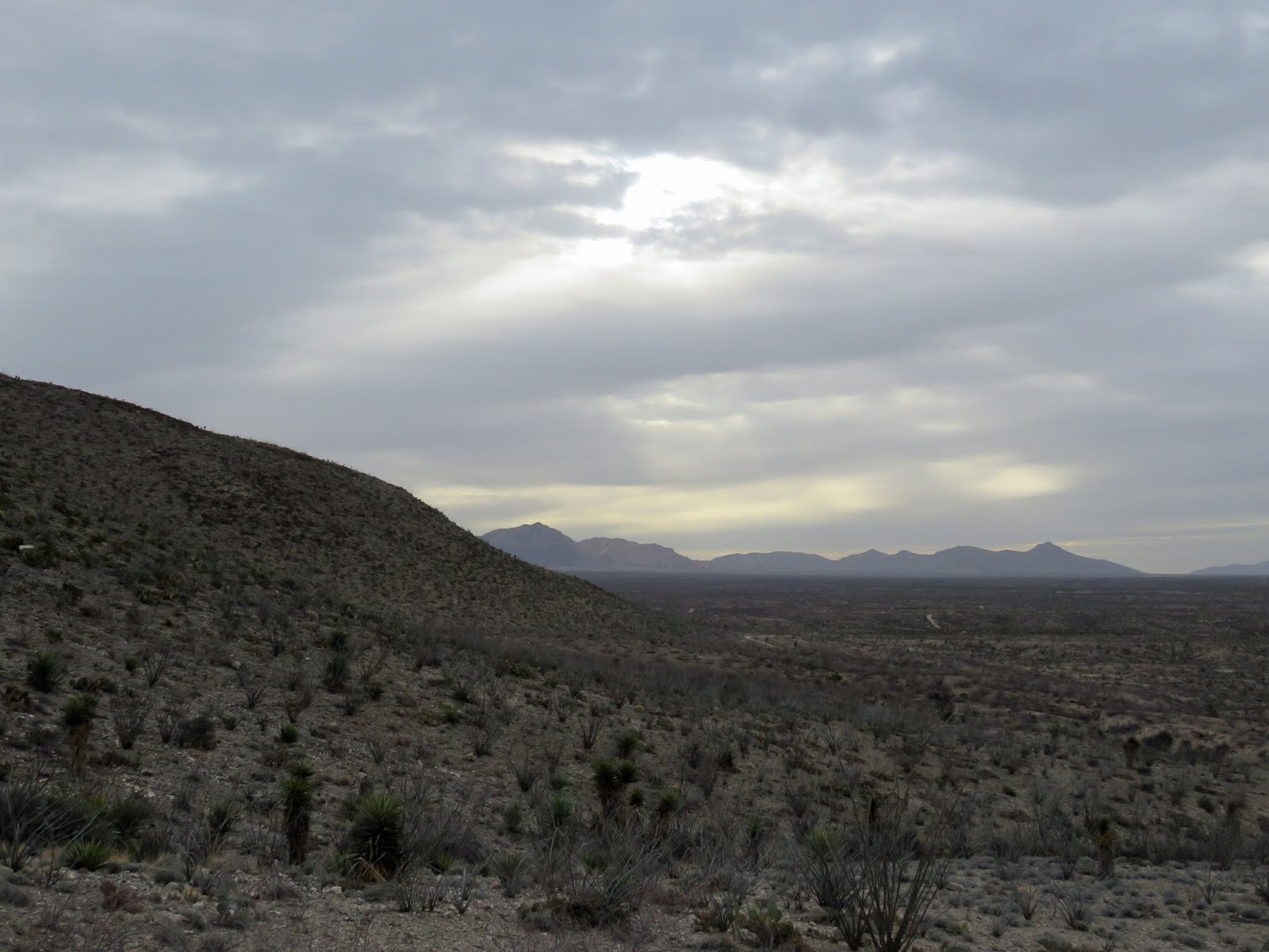
What the weather was like all morning

Becca scouting the area

The way forward

To the high foothills

This section of trail dips through a deep gully

Flank of Tortugas and the Organ Mountains

Same scene from a bit higher up


Heading down the road

Banana Yucca high up at the side of the road

Rugged territory

Power to the mountain

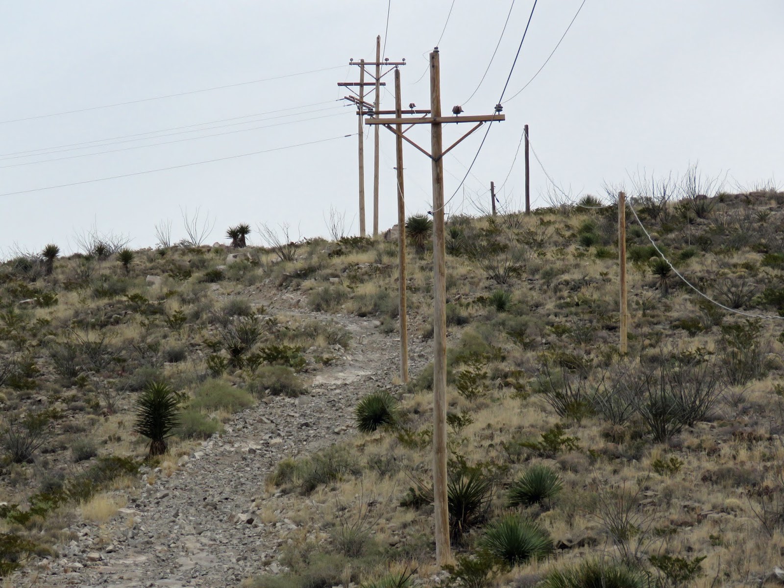
Power lines next to the access road

Long stretch of dirt road

Rundown shack near an experimental tower

1 comment:

Unknown said...

I like the "rugged territory" photo. Kind of a gloomy day, but we're like to not have below freezing temps like the rest of the country.

Decent Little Bushwhack

1st 4:  Claret Cups Even though the Swainson's Hawk wasn't perched atop the Torrey Yucca on the crest of 4210 hill we decided to bus...