 |
| Starting up the west side of the mountain |
When Becca and I reached the 4,928-foot summit of Tortugas Mountain this morning there was a woman praying at the Native American altar there. She finished quickly, greeted Becca and me, and headed down the mountain. She was the only person at the top. We explored for a bit, took photos (me), smelled every other plant (Becca), then headed part-way down the mountain road. We veered off after an eighth mile to take the steepest route to the desert floor. All along the precipitous descent I kept thinking "I'm not going this way again."
 |
| Centennial High School and the Dona Ana Mountains |
 |
| New Mexico Farm and Ranch Heritage Museum |
 |
| About 1/4 of the way up the mountain |
 |
| Geothermal Drive |
 |
| Las Cruces, New Mexico |
 |
| Approaching the midway point |
 |
| About halfway to the crest |
 |
| Almost at the level of the two-dome observatory |
 |
| Part of the lighting system for the giant "A" (for NMSU "Aggies") |
 |
| Nearly topping off |
 |
| Part of the giant "A" on the west side of Tortugas |
 |
| View of the Organ Mountains from the summit of Tortugas |
 |
| Sign on the single-dome observatory |
 |
| The Franklin Mountains near El Paso (45 miles as the crow flies) |
 |
| This observatory began operations in 1967 |
 |
| Centennial High School (the newest in the area) |
 |
| Day Flower |
 |
| The single-dome observatory |
 |
| The rugged Organ Mountains |
 |
| The road down to the older, two-domed observatory |
 |
| High desert mountain scene |
 |
| Mountain dog |
 |
| The jagged spine of the Organ Mountains on the horizon |
 |
| Two-domed observatory opened in 1963, supervised by Clyde Tombaugh |
|
|
|
 |
| No longer in use, the observatory has fallen victim to vandals |
 |
| The steep eastern edge of Tortugas Mountain (middle ground) |
 |
| Five miles between Tortugas Mountain and the Organ Mountains |
 |
| The road between the two observatories |
 |
| New Mexico State University golf course (middle) |
 |
| Red dot (center) indicates where our car is parked |
 |
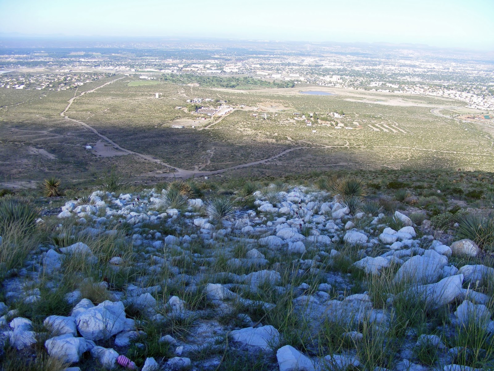
| Starting down the steep utility road (45-degree angle at times) |
 |
| Two hikers (center right, near tower) starting up the mountain road |
 |
| Proceed with caution |


4 comments:
Yikes--that path downhill is steep. I'm glad both of you made it back safely. Really nice photos.
Thanks for the "special" trip to the top of Tortugas, Packrat. The slopes of the mountain don't look too steep from your lateral views, but photographed from the top, the descent looks pretty precipitous!
Is the newer observatory still used, or has it been mothballed, too?
Sorry I didn't comment promptly (since you made this trip just for me :) ), but I'm closing on a conservation land purchase and there are still a lot of details to be resolved.
BTW, our weather here the last few days has been absolutely perfect--clear blue skies, very low humidity, and temperatures in the low 70's! it doesn't get any better than that--and I'm stuck in the office. I did sneak out for an hour yesterday afternoon to cut some particularity troublesome invasive vines strangling a sycamore.
The single-dome observatory is used on occasion, Scott, and a local astronomy group is pushing to get it opened on a full-time basis.
Can't wait to hear about the conservation land purchase.
The closest access point to the Appalachian Trail for Kali and me (about 1-1/2 hours northwest) has an observatory on the ridgeline of Blue Mountain (also known as Kittatinny Ridge). It, too, is managed by an amateur astronomy club; I don't know who it belonged to before the club got it or who built it.
Post a Comment